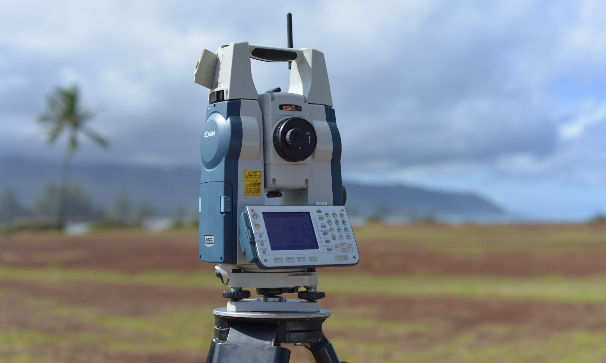
Our Unmanned Aircraft System (drone) produces detailed, accurate measurement and imagery. We establish a Ground Control Target Network using a Total Station, Pre-program the Flight Pattern and Quality Check our results.
(Click on Images to Enlarge)
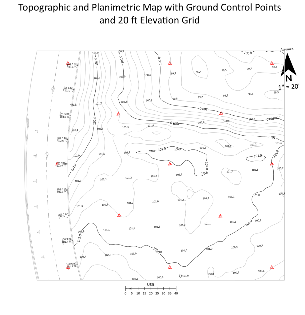
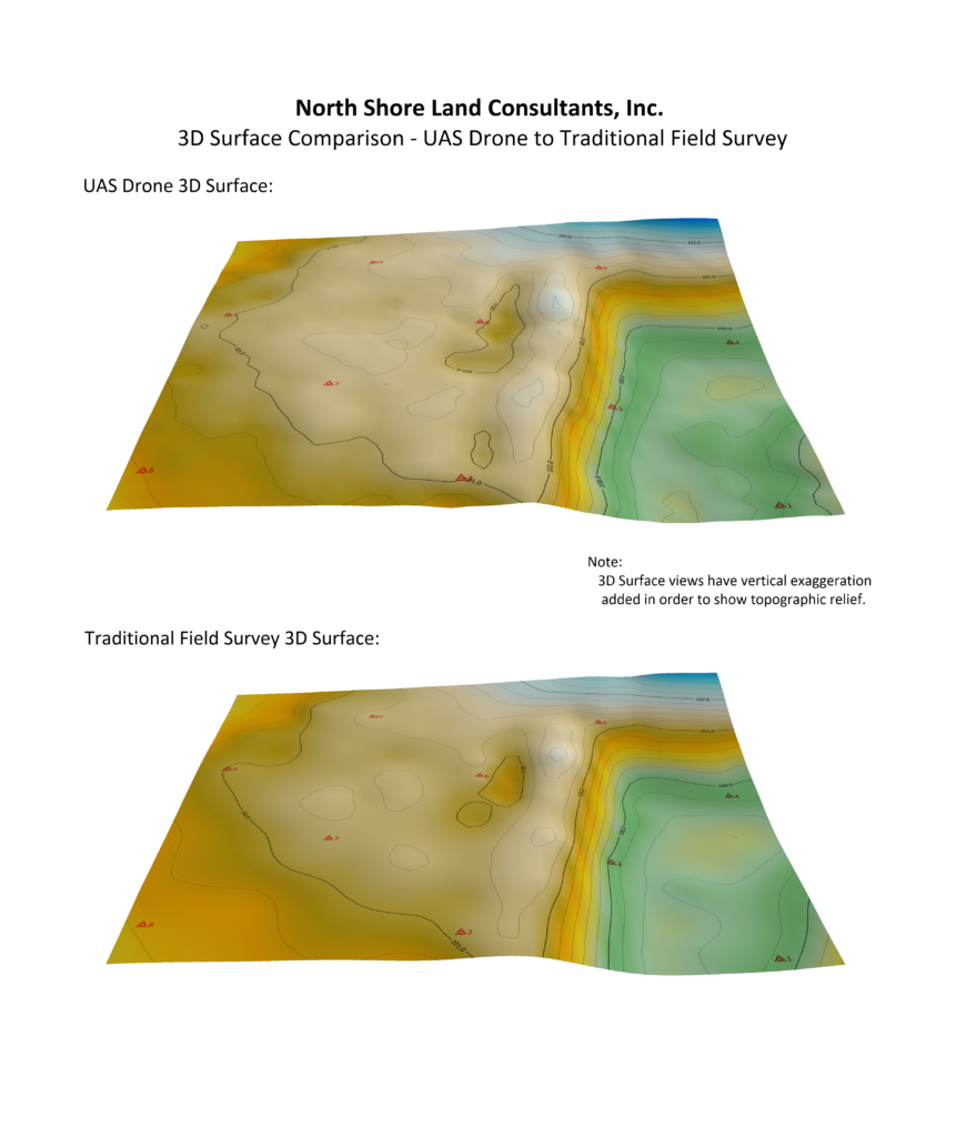
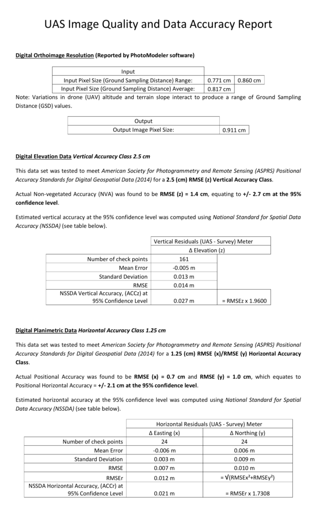
Above: Site is nearly one acre. 122 aerial drone photographs were used to develop the orthomosaic and 2D/3D data. Accuracy analysis compared Traditional Field Survey to Drone (UAS).
Customer Industries and Deliverables include:
Designers/Engineers/Architects
- Topographic Studies and As-Build Studies
- Up-to-date
- Precision
- Accuracy
- Tied to benchmarks
- CAD compatible
Contracting
- Progress measurements
- Overlays of as-builts onto design
- Quality reports
- Repeat inspections
- Timely reporting
- 3D Data and 4D Data presentation
- Volume and area
- Inventories
- Equipment on-site
- Material on-site
- Supplies on-site
With simple equipment modifications we can also service these Customer Industries:
Solar Systems
- FLIR
- Repeatable
- Shareable
- Georeferenced
- Timely
- Precision (temperature gradient and location)
Agriculture
- NDVI
- Georeferenced
- Agriculture software compatible
- Repeatable
- Timely
- Precision (species identification and location