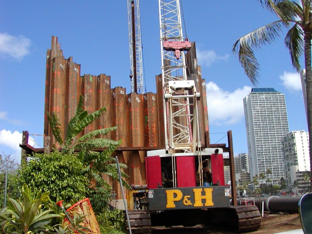
- Heavy Civil Construction Staking
- Post Construction Asbuilt Surveys
- Construction Site Progress Monitoring
- Topographic Studies
- Volumetric Studies
- For Turn Key Projects: we partner with an Operating Engineers Local 3 signatory licensed contractor (Classes A, B, and C) with engineering on staff. Together we can fill project needs from topographic mapping, site suitability, design and all the way through construction.
- 3D Laser Scanning and 3D Modeling
- Close Range Photogrammetry
- Aerial Photogrammetry
- Member American Society for Photogrammetry and Remote Sensing (ASPRS)
- Digital Terrain Modeling (DTM’s) and Scaled Orthomosaics
- Inspections utilizing Visible, Ultra Violet (FLIR) and Vegetative Spectrum (NDVIR) Light
- Remote Pilot Certificate with a small Unmanned Aircraft System (sUAS) rating – FAA part 107 for commercial drone operation
Technologies
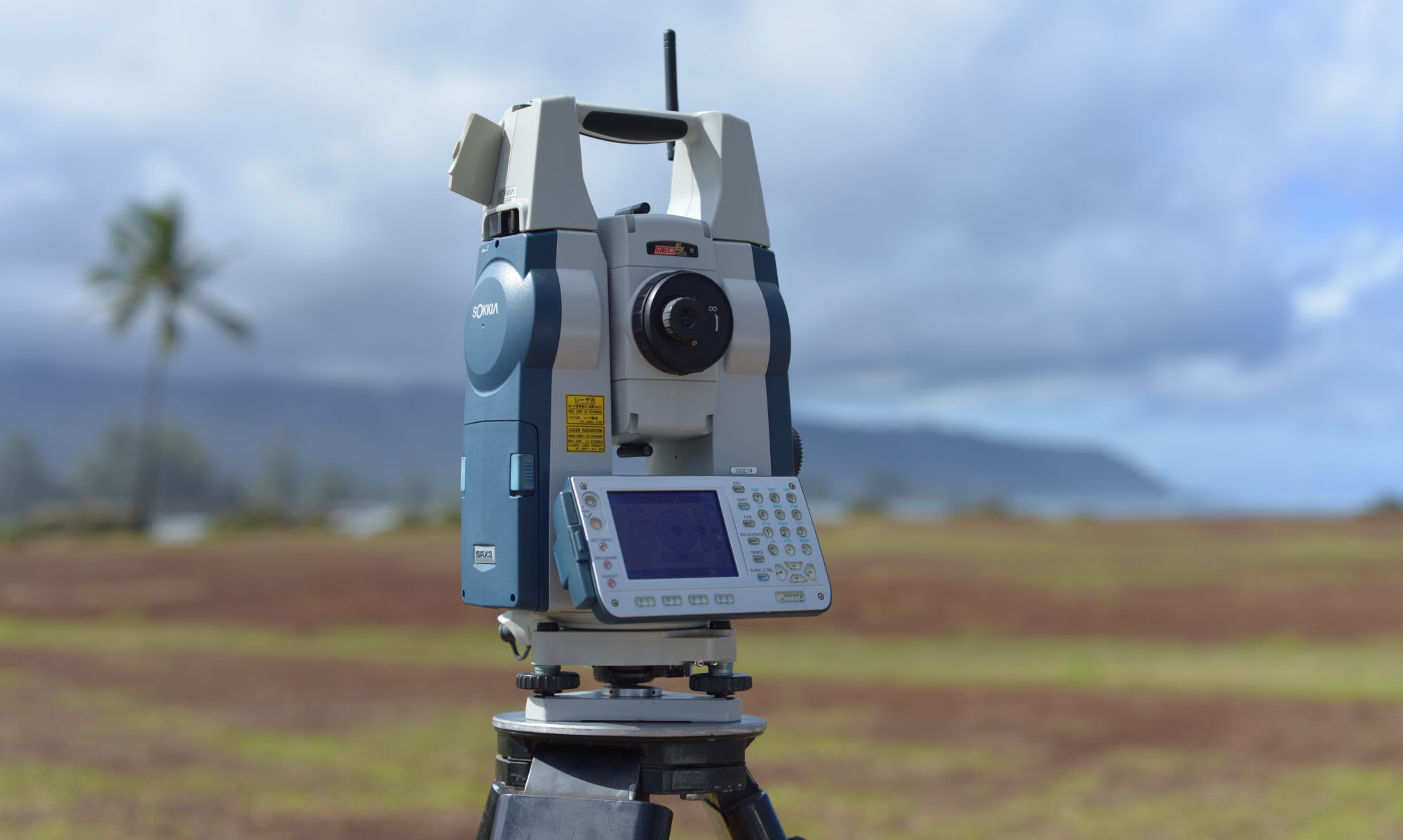
Construction Layout Survey
- Experienced
- Accurate
Drone (Unmanned Aircraft System – UAS)
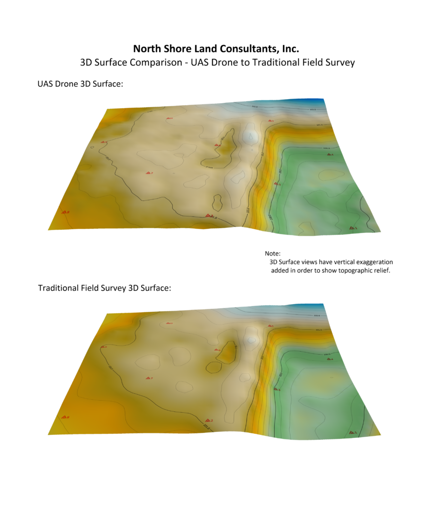
- Planimentric and Topographic Mapping
- Orthomosaic Images
3D Laser Scanning
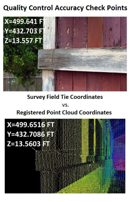
- Accurate Registration
- 2D and 3D Applications
Video Library
About
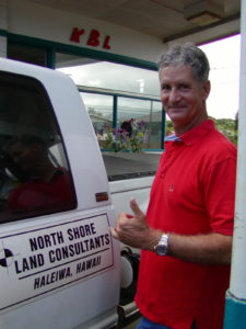
Chris Komperda took on his first construction job as Project Surveyor for Hawaiian Dredging Construction Company – H3 Interstate Tunnels – Halawa Approach – State of Hawaii Department of Transportation (1992).
In 1997 he and his wife Jill Komperda founded North Shore Land Consultants (a heavy civil construction layout services company). We incorporated in 2003:
- Woman-Owned business,
- Hawaii Registered Corporation with
- corporate liability and
- commercial vehicle insurance coverage
We provide you with the experience and technology to tackle complex heavy civil construction projects and bring your project to completion.
- State-of-the-art high precision surveying and data capture equipment
Speed + Quality = Accurate Production
- 30+ Years experience in heavy civil construction and design
- Adjust on fly – Short lead-time required – Our flexibility to meet Your schedule
- Complete operation (office support through field crews) with considerable Design Build experience:
- 2D & 3D modeling of construction plans and machine control (DDM – Digital Design Model)
- We catch design and construction errors
- AutoCad compatible as-builts (before, during and post construction)
- Follow-up reports, graphs and scaled drawings
Contact

Our look has changed a little since our early days but our passion for the job remains the same. Let’s talk!